Shrinidhi Ambinakudige
Studying glaciers using remotely sensed data
Glaciers are key indicators for assessing climate change. Beginning in the nineteenth century, glaciers in many parts of the world retreated significantly. An accurate measurement of glacial retreat, volume change, mass balance and glacial lake expansion will contribute to the understanding of the global impacts of climate change. Such data will also help develop an early warning system for Glacial Lake Outburst Floods (GLOF), which can devastate vulnerable downstream localities. Unfortunately, documentation of glacier measurements in major glacial regions is not comprehensive. In recent years, remote sensing satellite images have helped researchers study even the world’s most inaccessible glaciers.
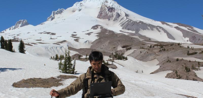
Dr. Shrinidhi Ambinakudige studies cryosphere using remote sensing and in situ methods. Especially, he has studied glaciers of the Himalayas, the Pamir, the North Patagonian Icefield, the Southern Andes and the glaciers of the United States. In a recent visit to the Mt. Hood, and Mt. Rainier, Dr. Ambinakudige and his Ph.D. student Pushkar Inamdar collected spectral signatures of snow, ice, firn and debris etc. using spectroradiometer. Data will be used to develop models to study glaciers using remotely sensed satellite images.