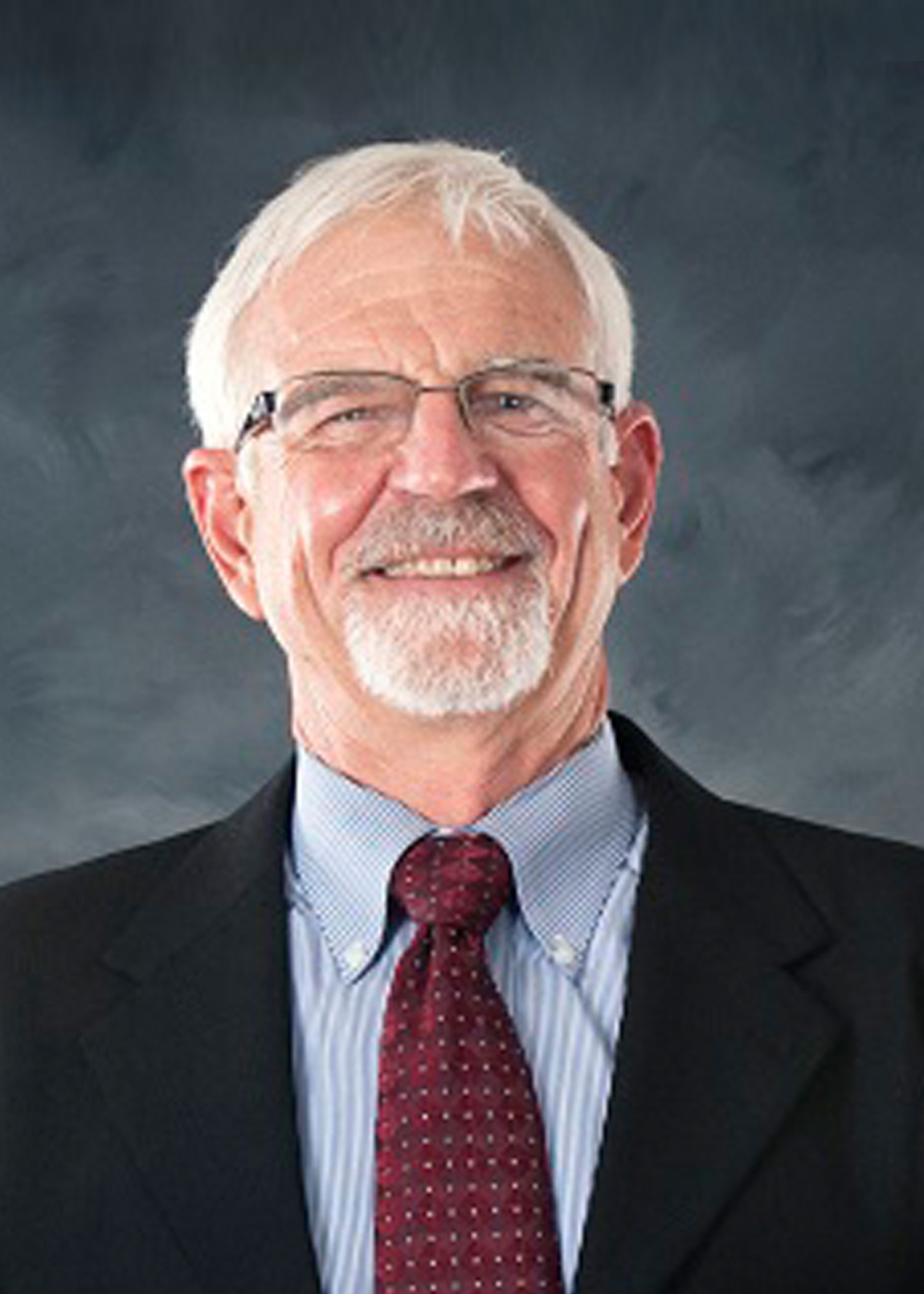
Bill Cooke
Professor, GIS
209 Hilbun Hall
Mississippi State, MS 39762
Dr. William H. Cooke III is a Professor in the Department Geosciences at Mississippi State University (MSU). He obtained his PhD in forestry in 1997 and has over 26 years of experience in Remote Sensing and GIS research at MSU, and with the USDA Forest Service Southern FIA unit. Cooke has published and presented on various Remote Sensing and GIS modeling efforts including landscape risk assessment and human exposure potential for vector-borne diseases, GIS-based site suitability modeling for biofuel production, space-borne LiDAR for stand height and wildfire fuel potential, and is currently engaged in funded research targeted towards ecological and economic impacts of wildfire in the Southeastern U.S. Dr. Cooke was the recipient of the 2010 Faculty Research Award for MSU Centers and Institutes, the 2009 Faculty Research Award for the Geosystems Research Institute, and was an Associate Director of the Geosystems Research Institute before taking the Geosciences Department Head position. He is the current Director of the newly designated NGA-USGS Geospatial Sciences Center of Academic Excellence at MSU, is a co-author of the Mississippi Emergency Management Agency GIS disaster plan, and is the former chair of the USDA Forest Service FIA National Remote Sensing Band.
Education
- Ph.D., Mississippi State University, Department of Forest Resources, 1992-1997
- Dissertation: A Methodology for Quantitatively Testing the Applicability and Implementation of Landscape Partitioning Systems for AVHRR Data.
- M.S., Mississippi State University, Department of Forest Resources, 1989-1991
- Thesis: Use of Temporal Landsat Data for the Discrimination of Selected Forest Species Composition Groups.
- B.S., Mississippi State University, Department of Forest Resources, 1975-1978
Experience
- Director: NGA-USGS Geospatial Sciences Center of Academic Excellence at MSU
- Former Associate Director: Geosystems Research Institute
- Former Director: Geospatial and Remote Sensing Technologies Certificate Program
- Co-author: Mississippi Emergency Management Agency GIS disaster plan
- Development of GIS curriculum for MSU Geosciences Department
- Former Chair: USDA Forest Service National Remote Sensing Band
- Visiting Scientist: Wageningen Agricultural University, The Netherlands. RADAR analysis, Sumatra, Indonesia
Research Interests
Remote Sensing, Geographic Information Systems, Spatial Modeling, Wildfire, Epidemiology
Teaching Areas
- GR 8913 Philosophy and Ethics in Geoscience Research
- GR 8563 GIS Research Applications
- GR 4313/6313 Advanced GIS
- GR 4333/6333 Remote Sensing of the Physical Environment
Honors/Professional Activities
- 2010 Faculty Research Award for MSU Centers and Institutes
- 2009 Faculty Research Award for the Geosystems Research Institute
- Member American Society of Photogrammetric Engineering and Remote Sensing
Graduate Students
- Jamie McFadden-Hiller
Recent Publications
- Grala, K., R.K. Grala, A. Hussain, W.H. Cooke, J.M. Varner. 2017. Impact of human factors on wildfire occurrence in Mississippi, United States. Forest Policy and Economics 81: 38-47
- Frew, M. S., D.L. Evans, H.A. Londo, W.H. Cooke, and D. Irby. 2016. Measuring tree growth by modeling multi-temporal LiDAR. Forest Science 62(2):200-212.
- Yang, Y., Meng, Q., McCarn, C., Cooke, W.H., Rodgers, J., and Shi, K., 2016. Effects of path dependencies and lock-ins on urban spatial restructuring in China: A historical perspective on government's role in Lanzhou since 1978. Cities 56:24-34.
- Sadasivuni, R., Bhushan, S., & Cooke, W. H. (2014). Convection-Diffusion Model for the Prediction of Anthropogenically-Initiated Wildfire Ignition. International Journal of Disaster Risk Science. 5(4), 274-295.
- Dixon, G., Mercer, A., Grala, K., & Cooke, W. H. (2014). Objective Identification of Tornado Seasons and Ideal Spatial Smoothing Radii. Earth Interactions. 18(2), 1-15. View More
- Cooke, W. H., Grala, K., Brooks, C., & Pote, L. M. W. (2013). Development of a Sampling Scheme for West Nile Virus Testing in Urban and Rural Environments. Air Water Borne Diseases. 2, 111.
- Sadasivuni, R., Cooke, W. H., & Bhushan, S. (2013). Wildfire Risk Prediction in Southeastern Mississippi Using Population Interaction. Ecological Modeling. 251, 297-306.
- Cooke, W. H., Mostovoy, G. V., Anantharaj, V. G., & Jolly, W. M. (2012). Wildfire Potential Mapping over the State of Mississippi: Land Surface Modeling Approach. GIScience and Remote Sensing.49 (4), 492-509.