
Theme 1: Regional Climate Modeling
Creating scenario-based regional hydroclimate projections for the Yazoo-Mississippi Delta.
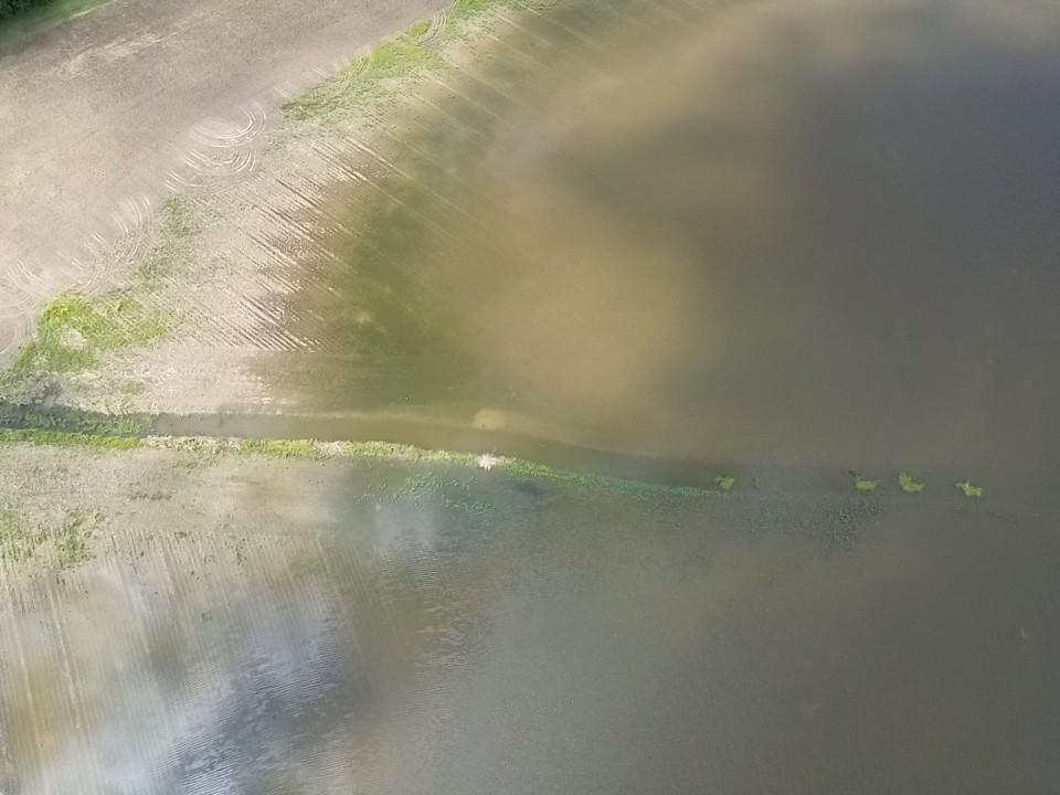
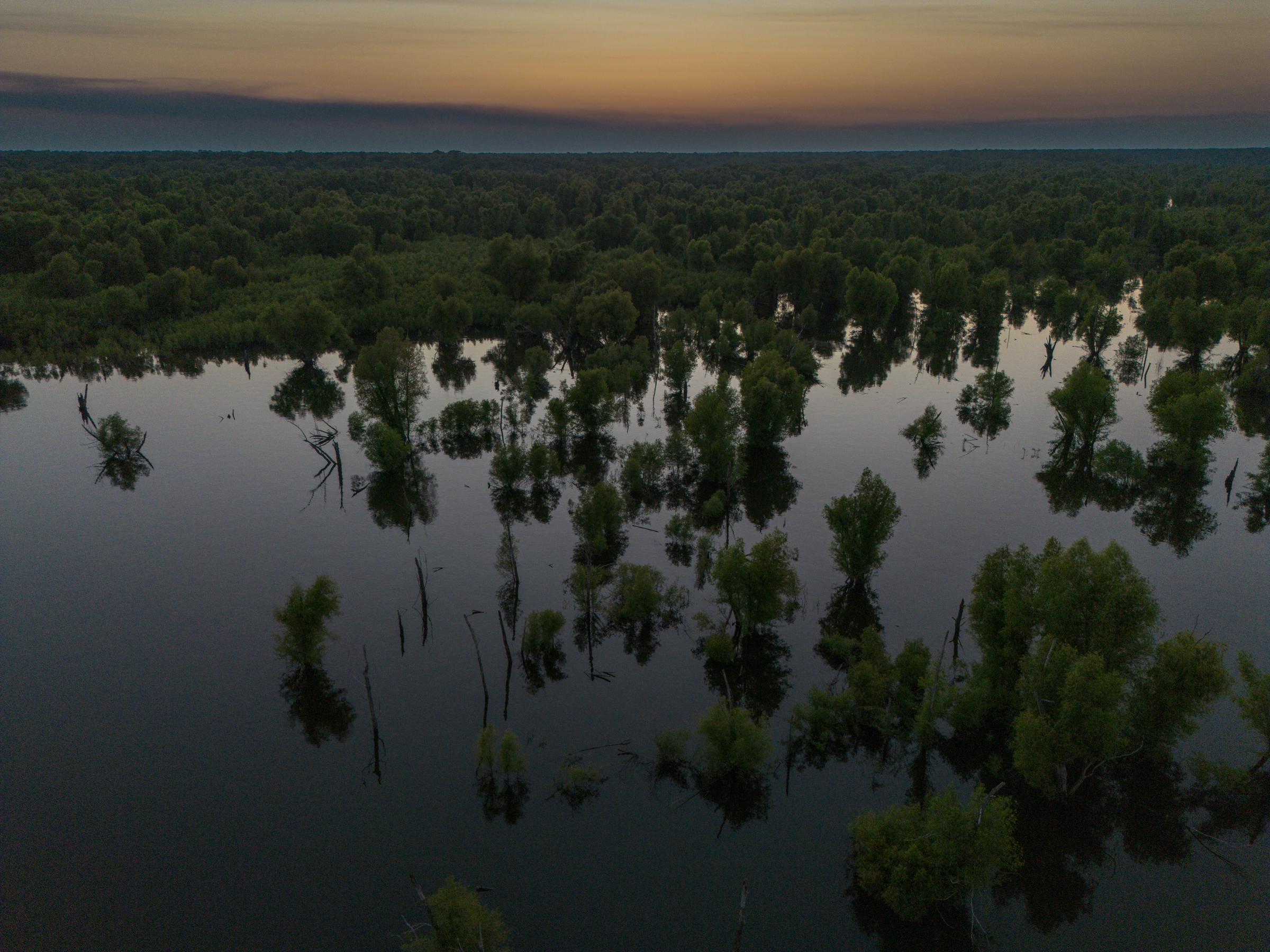
Projecting regional hydroclimates for the Yazoo-Mississippi Delta requires integrating dynamic land use and land cover (LULC) data to account for their effects on energy balance and climate. As an agriculturally significant region with unique land cover challenges, current hydroclimate models lack the resolution to capture its complex terrain and farmland mosaic, leading to gaps in predictions critical for agriculture, infrastructure, community preparedness, and conservation. Existing models also fail to resolve climate change’s compounded effects on hydroclimate. This project addresses these gaps by developing a high-resolution LULC dataset, integrating it with the Weather Research and Forecasting Model (WRF), and enhancing boundary conditions to dynamically downscale global climate data. The goal is to improve localized climate projections, supporting more effective planning and mitigation strategies. This tailored approach is not only crucial for the immediate sustainability of the Delta's agriculture but also for the long-term resilience of the region's socio-economic and environmental systems.
Photos by Brian Williams, Shrinidhi Ambinakudige
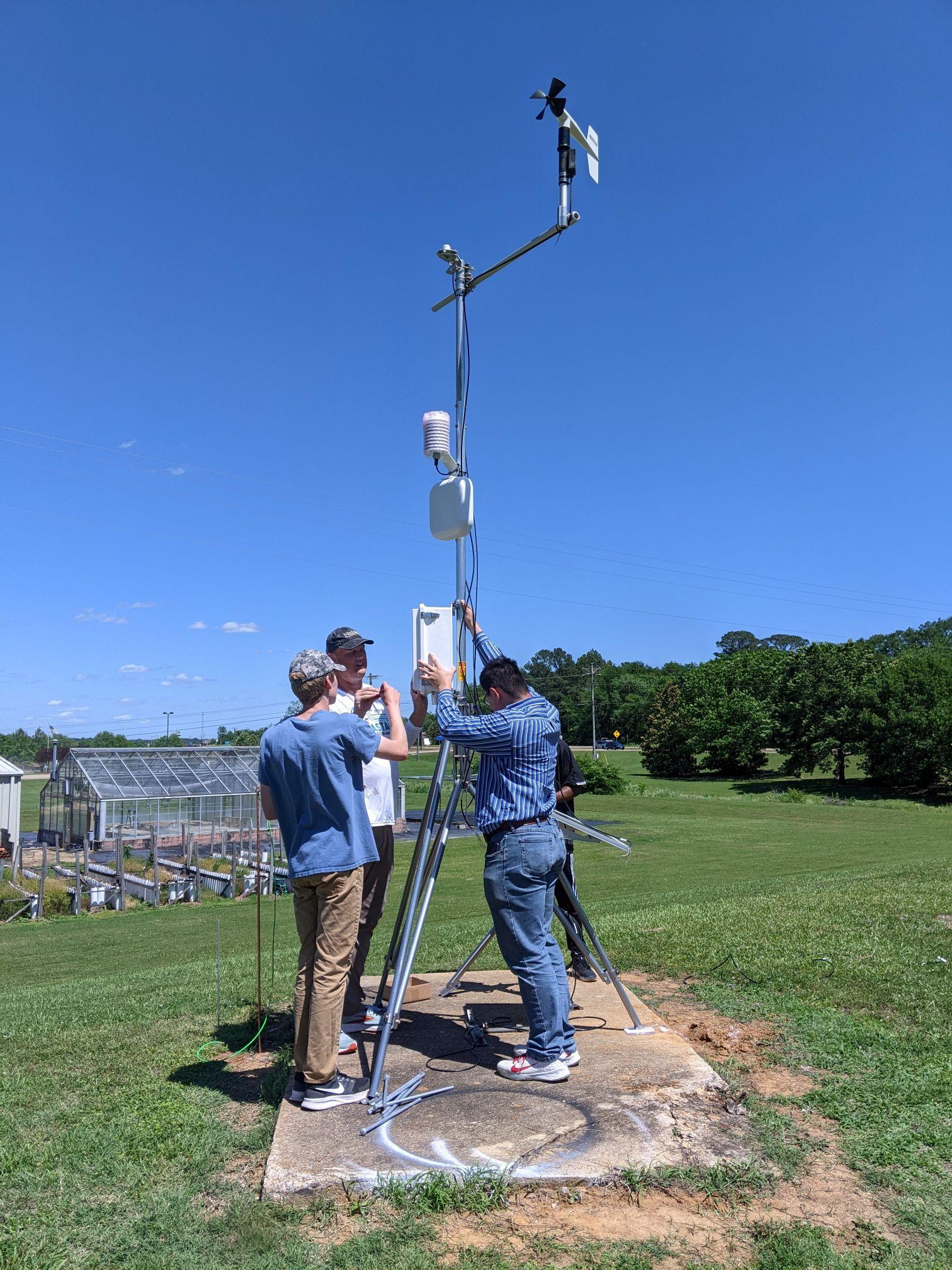
The project employs a mixed-method approach, integrating remote sensing for land use data, machine learning for image classification, dynamical downscaling of climate models to characterize past and present hydroclimate variability and project future conditions, and statistical analysis to evaluate the hydroclimate response to land use changes. Crop modeling is utilized to translate hydroclimate impacts into agricultural outcomes.